|
 |
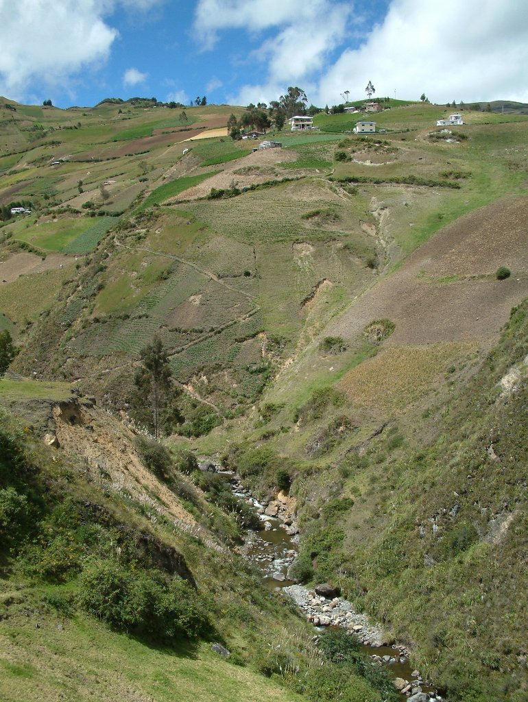
| Landscape around Ingapirca | |
| Latitude: S 2°32'53,99" | Longitude: W 78°52'31,13" | Altitude: 3105 metres | Location: Ingapirca | State/Province: Cañar | Country: Ecuador | Copyright: Ron Harkink | See map | |
| Total images: 15 | Help | |
|
 |
| Landscape around Ingapirca | |
| Latitude: S 2°32'53,99" | Longitude: W 78°52'31,13" | Altitude: 3105 metres | Location: Ingapirca | State/Province: Cañar | Country: Ecuador | Copyright: Ron Harkink | See map | |
| Total images: 15 | Help | |